(01)
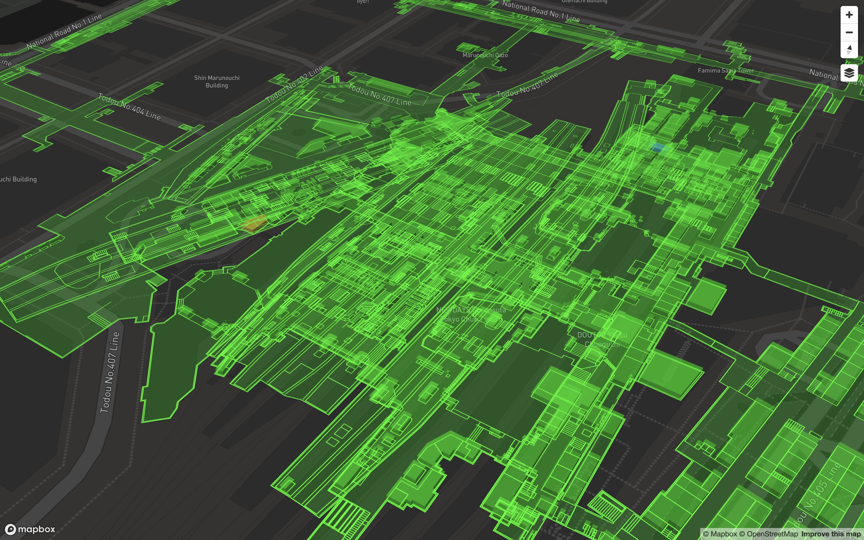
Map Layer (2D)
Displays base map information such as user location, weather data, and verified fishing spots. Serves as the foundation for data visualization and navigation.
Displays base map information such as user location, weather data, and verified fishing spots. Serves as the foundation for data visualization and navigation.
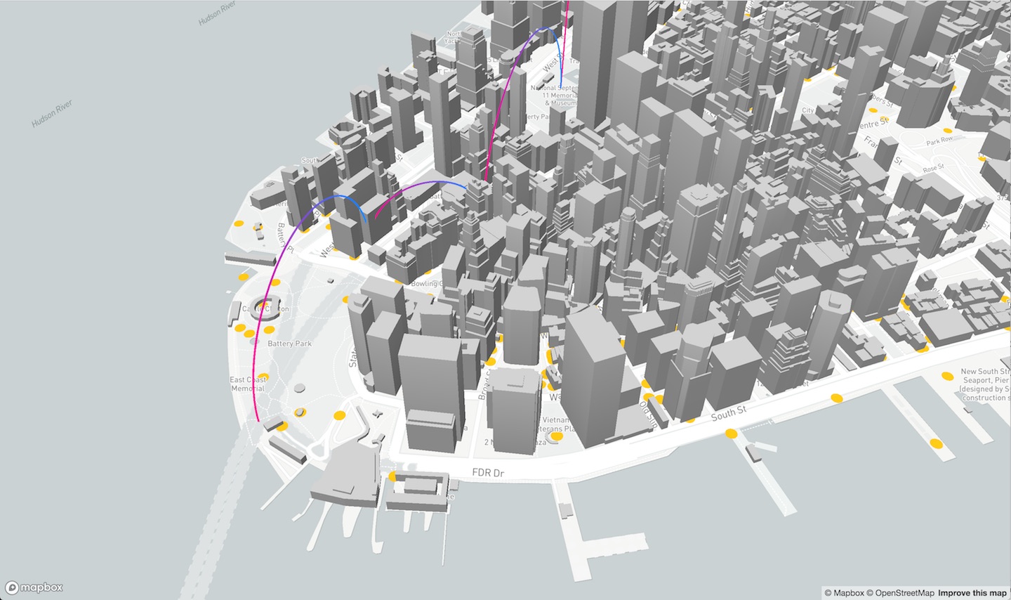
Creates a pseudo-3D perspective with depth and gradient effects. Used to visualize fish species distribution and encourage exploration through immersive visuals.
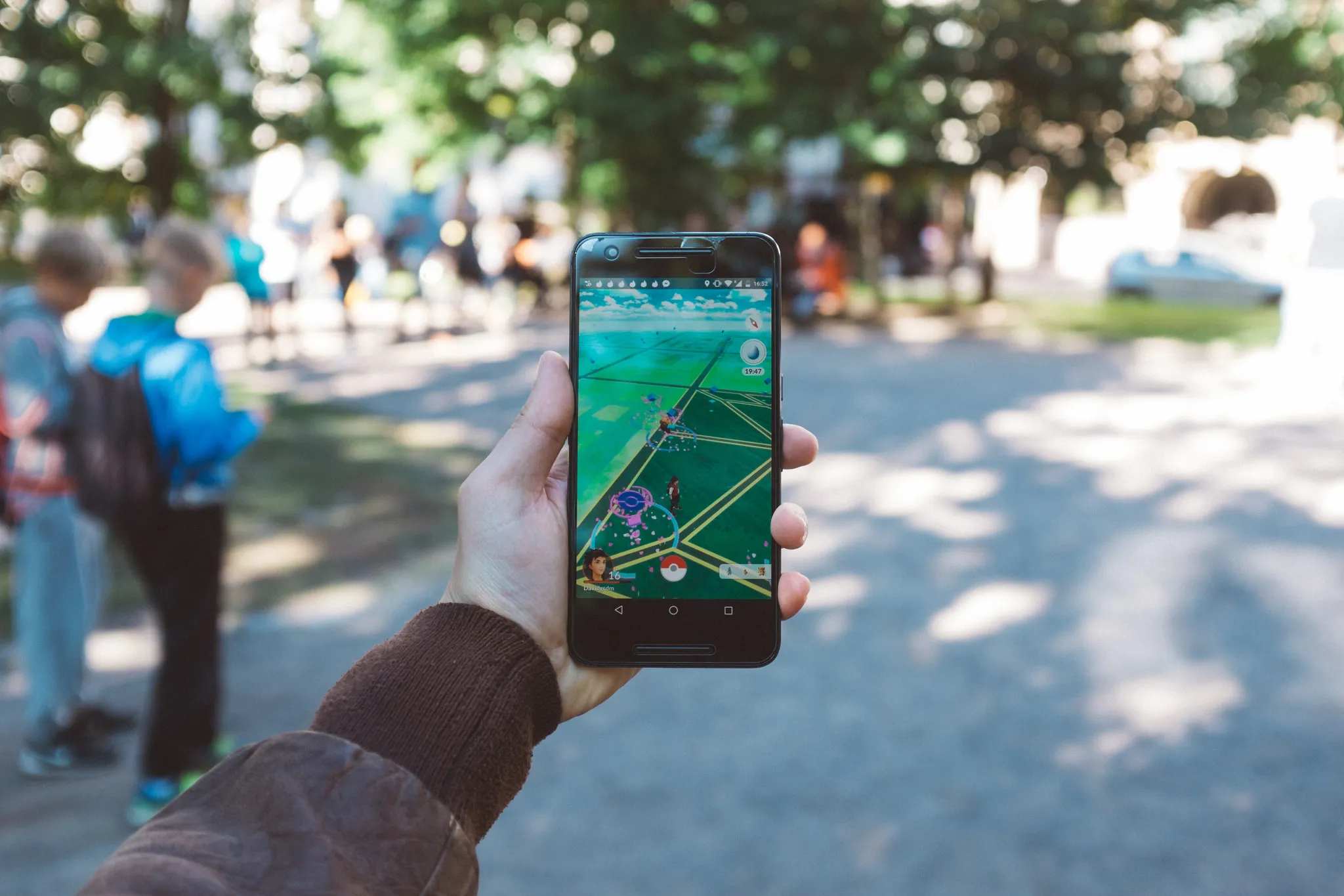
Enables AR-based fish capture and object placement similar to Pokémon Go, allowing real-world alignment and interactive scenes.
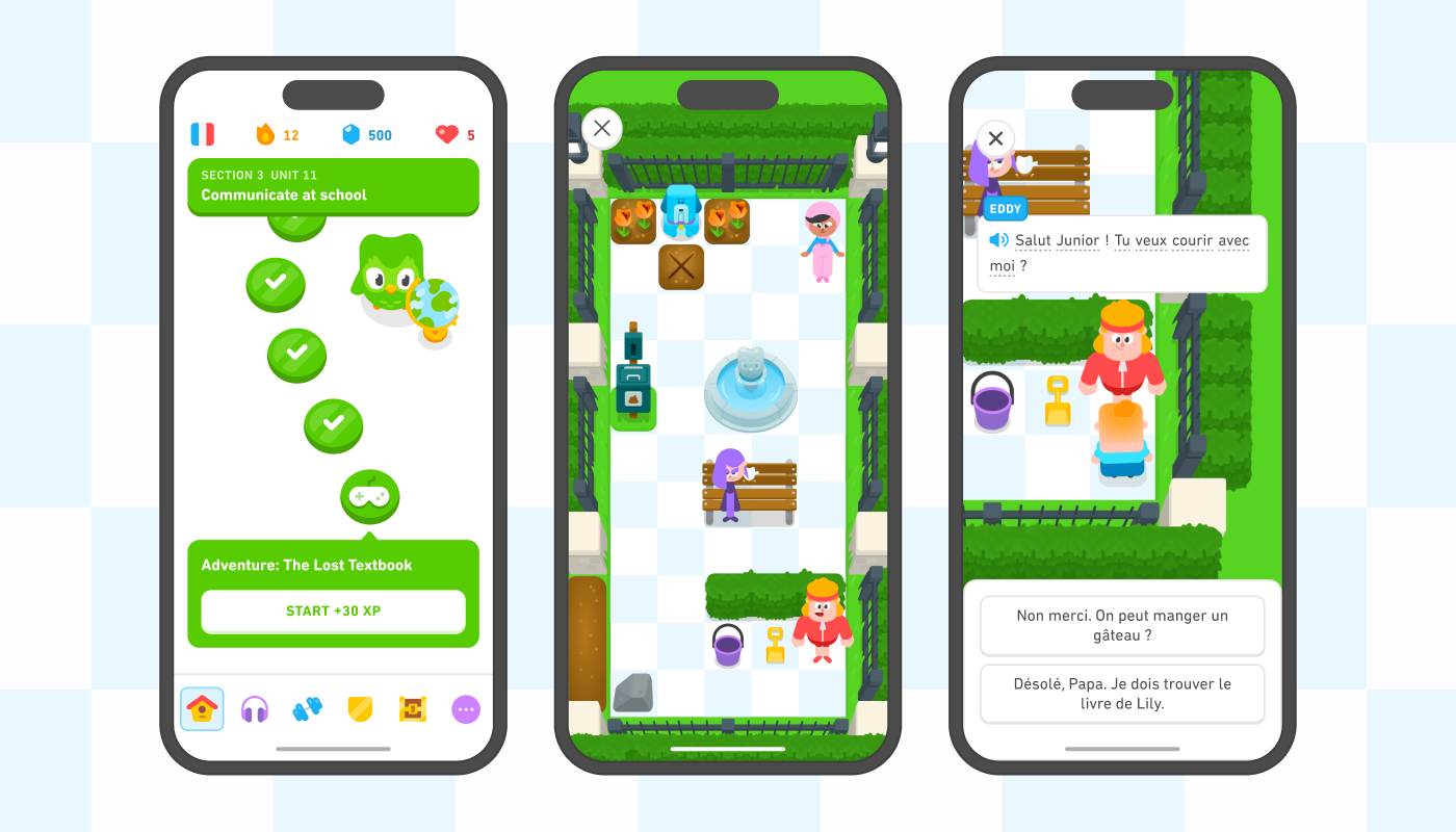
Recognizes fish from camera input and provides instant identification, metadata (length, weight, location), and emotional feedback.
Provides emotional companionship, motivational dialogue, and AI-driven fishing guidance during the user's journey.
Stores user collections, manages community posts, and tracks rewards, achievements, and leaderboards to foster engagement.